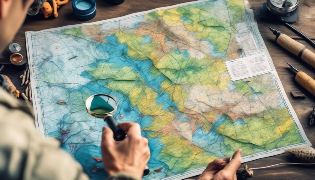
Navigating the complexities of freshwater fishing maps can feel like deciphering a cryptic code, but with the right tools and knowledge, you can unlock the secrets hidden within these cartographic representations.
Understanding the intricate symbols, identifying the prime fishing spots, and interpreting the subtle nuances of water depth and structure are just the beginning of your journey to becoming a proficient angler.
As you embark on this exploration, you'll gain access to a wealth of information that can significantly enhance your fishing experience and increase your chances of reeling in that elusive trophy catch.
Understanding Map Symbols
To navigate freshwater fishing maps effectively, it's crucial to understand the various symbols used to represent different features and landmarks. Interpreting map legends is essential for identifying key elements such as depths, underwater structures, and vegetation. These symbols provide valuable information that can help you locate potential fishing spots and plan your route on the water. Recognizing navigation aids is also important for ensuring safe and successful fishing trips. Symbols representing buoys, markers, and other navigation tools help you navigate the waterways and avoid hazards.
Map legends often use a variety of symbols to depict different aspects of the underwater topography. For example, contour lines indicate changes in water depth, while symbols for submerged vegetation or structures can help you identify potential fish habitats. Understanding these symbols allows you to interpret the underwater landscape and make informed decisions about where to fish.
In addition to natural features, freshwater fishing maps also include symbols for navigation aids. Buoys, markers, and beacons are crucial for understanding the layout of the waterways and ensuring safe passage. By recognizing these symbols, you can plot your course, avoid obstacles, and safely navigate to your desired fishing locations.
Identifying Prime Fishing Spots
Understanding map symbols is essential for identifying prime fishing spots, as they can indicate underwater structures and vegetation that attract fish. Once you've deciphered the symbols, locating fish becomes much easier.
Here are some tips to help you find hotspots on freshwater fishing maps:
- Depth Contours: Look for areas where the depth changes rapidly. Fish tend to gather around drop-offs, ledges, and underwater cliffs. These sudden changes in depth can be prime locations for fishing.
- Vegetation and Structure: Pay attention to symbols representing vegetation and underwater structures like submerged trees, rocks, and brush piles. These areas provide cover for fish and attract prey, making them ideal spots for casting your line.
- Water Temperature Variations: Check for symbols indicating temperature variations. Fish are sensitive to changes in water temperature, so areas where there are sudden shifts can be rich in fish activity.
- Currents and Inlets: Symbols representing currents and inlets can be crucial for finding hotspots. Fish usually gather where water is flowing, as it brings food and oxygen. Inlets can also create eddies and pockets where fish congregate.
Analyzing Water Depth
When analyzing water depth on freshwater fishing maps, focus on identifying significant changes that indicate potential fishing hotspots. Understanding depth perception and underwater topography is crucial for successful fishing.
Look for areas where the depth variations are pronounced, such as drop-offs, ledges, or submerged structures. These spots are likely to attract fish and provide excellent fishing opportunities.
Depth perception plays a vital role in predicting fish behavior. Different fish species prefer specific depth ranges based on factors like water temperature, oxygen levels, and access to food sources. By analyzing water depth on fishing maps, you can anticipate where certain fish species might be located at different times of the day or year.
For example, during the warmer months, predatory fish often seek deeper waters with cooler temperatures, while in cooler months, they may move to shallower areas to feed.
Moreover, understanding underwater topography can help you identify potential ambush points for fish. Look for areas where the depth abruptly changes, creating natural hiding spots for fish to wait for prey. Submerged structures like fallen trees, rock formations, or underwater vegetation can also affect the water depth and attract fish.
Interpreting Structure and Habitat
Explore the freshwater fishing map to locate key structures and habitats that could attract fish and enhance your fishing experience. Understanding the structure and habitat of the water body is essential for successful fishing. Here's how to interpret them effectively:
- Fish Behavior: Pay attention to the structure and habitat preferred by the species you're targeting. For example, largemouth bass are often found near submerged structures like fallen trees or underwater vegetation, while trout prefer cool, oxygen-rich waters with ample cover.
- Water Flow: Look for areas where the current changes, such as points, bends, and constrictions. These areas can create eddies and pockets of slower-moving water, which are often prime spots for fish to hold and feed.
- Underwater Structures: Identify key underwater structures such as drop-offs, ledges, and humps. These areas provide shelter for fish and are often where they ambush their prey. Pay special attention to areas where the depth changes significantly.
- Weather Patterns: Consider how weather patterns may impact the structure and habitat. For example, after a heavy rain, underwater structures near the shore may provide refuge for fish seeking shelter from the inflow of murky water.
Utilizing GPS Coordinates
To effectively utilize GPS coordinates for freshwater fishing, pinpoint the exact locations of productive fishing spots with precision and ease. Navigating technology has revolutionized the way anglers approach fishing. With GPS coordinates, you can mark the locations of prime fishing spots, allowing you to return to these areas with ease. Plotting routes to these spots becomes straightforward, as GPS technology enables you to create and follow precise paths to your desired fishing locations.
When utilizing GPS coordinates, modern fish finders and chartplotters are invaluable tools. These devices not only display your current location but also allow you to input and navigate to specific GPS coordinates. By leveraging this technology, you can efficiently navigate to different fishing spots on the same water body or on various bodies of water.
Moreover, GPS coordinates also offer the ability to share fishing locations with fellow anglers. By providing them with the coordinates, they can effortlessly navigate to the exact area where you've had success. This sharing of information can be particularly useful in group fishing trips or when connecting with other anglers in online fishing communities.
Reading Currents and Tides
Understanding the behavior of currents and tides is crucial for successful freshwater fishing. When you can read and interpret tidal patterns and current influence, you'll be able to identify prime fishing spots and maximize your chances of a good catch.
Here's how to read currents and tides for freshwater fishing success:
- Tidal Patterns: Familiarize yourself with the tidal patterns specific to the body of water you're fishing in. Tidal patterns can greatly impact fish behavior and movement. For instance, some fish are more active during incoming tides, while others prefer outgoing tides. Understanding these patterns will help you plan your fishing trips more effectively.
- Current Influence: Identify areas of the waterbody where currents are stronger or weaker. Fish are often attracted to areas with moderate currents as these provide both food and oxygen. Additionally, understanding how currents move through the water will help you position yourself strategically to present your bait in a way that looks natural to the fish.
- Observation: Spend time observing the water's movement before you start fishing. Look for signs of activity such as baitfish swimming against the current or ripples on the water's surface. These can indicate areas where predatory fish may be feeding.
- Adaptability: Be prepared to adapt your fishing techniques based on the current and tidal conditions. Different currents and tides may require adjustments to your bait presentation and retrieval speed to effectively entice the fish.
Exploring Vegetation and Cover
As you observe the water's movement and identify areas influenced by currents and tides, it's important to also recognize the significance of vegetation and cover in freshwater fishing. Vegetation and cover play a crucial role in shaping fish behavior and have a significant environmental impact on the freshwater ecosystem.
Vegetation such as lily pads, submerged grass, and fallen trees provide essential cover for fish, offering protection from predators and a place to ambush prey. When exploring freshwater fishing maps, look for areas with abundant vegetation and cover as these are likely hotspots for various fish species. Understanding the types of cover preferred by different fish can greatly improve your angling success.
Additionally, vegetation and cover have a profound environmental impact. They contribute to the overall health of the freshwater ecosystem by providing oxygen, stabilizing sediment, and offering a habitat for aquatic invertebrates that serve as a food source for fish. By understanding the role of vegetation and cover, anglers can also contribute to the conservation and preservation of these vital habitats.
When fishing in areas with dense vegetation and cover, consider using techniques such as flipping, pitching, or topwater lures to navigate through the obstacles and entice fish hiding within. By recognizing the importance of vegetation and cover, you can enhance your freshwater fishing experience while also contributing to the sustainability of the aquatic environment.
Decoding Fishing Regulations
Curious about the fishing regulations in your area? Understanding fishing regulations is crucial for every angler to ensure responsible and legal fishing practices. Here are some important points to consider when decoding fishing regulations:
- Catch Limits: It's essential to understand the catch limits set by local authorities. These limits specify the maximum number of fish you can catch and keep within a specified time period. Adhering to these limits helps in preserving the fish population and maintaining a sustainable environment for future fishing.
- Restricted Areas: Fishing regulations often include designated restricted areas where fishing is prohibited or limited. These areas are typically established to protect fish spawning grounds, sensitive habitats, or areas with endangered species. Navigating these restricted areas requires careful attention to the regulations and may involve the use of fishing maps to identify off-limits zones.
- Seasonal Restrictions: Many fishing regulations include seasonal restrictions that dictate when certain species can be targeted. These restrictions are designed to protect fish during their spawning seasons, ensuring the sustainability of fish populations.
- Size Restrictions: Fishing regulations often specify the minimum and maximum size limits for different fish species. It's important to familiarize yourself with these size restrictions to ensure that you only keep fish that meet the specified size requirements, allowing smaller fish to grow and reproduce.
Frequently Asked Questions
Can I Use Freshwater Fishing Maps for Saltwater Fishing as Well?
Yes, you can use freshwater fishing maps for saltwater fishing, but it's important to ensure map compatibility. Some features may be applicable, but be aware of differences in depth, structure, and species between freshwater and saltwater environments.
How Can I Determine the Best Time of Day to Fish at Specific Locations Using the Maps?
To find the best fishing spots and time of day on the maps, study the weather patterns. Look for areas where fish are likely to gather based on the conditions. Consider factors like sunlight, wind, and temperature for successful fishing.
Are There Any Specific Map Symbols or Markings That Indicate the Presence of Certain Fish Species?
When reading freshwater fishing maps, map symbols and markings can help you find specific fish species. Mapping techniques reveal fish habitats, and certain symbols indicate the presence of particular fish species, making your fishing trip more successful.
What Are Some Common Mistakes Anglers Make When Interpreting Freshwater Fishing Maps?
When interpreting freshwater fishing maps, common misconceptions include misreading water depth and misidentifying fish-holding structures. Interpretation challenges arise from overlooking seasonal changes and not considering the impact of weather and water conditions.
Can These Maps Help Me Predict the Movement and Behavior of Fish in Different Weather Conditions?
Yes, freshwater fishing maps can help you predict fish movement and behavior in various weather conditions. By understanding the topography and structure of the water body, you can anticipate where fish will be located.
Conclusion
Now that you've mastered the art of deciphering freshwater fishing maps, you can confidently navigate any body of water and locate the best fishing spots.
By understanding map symbols, analyzing water depth, and interpreting structure and habitat, you'll be able to make the most of your fishing trips.
With the help of GPS coordinates, currents and tides, and vegetation and cover, you'll have all the tools you need to reel in the big catch.
Happy fishing!
